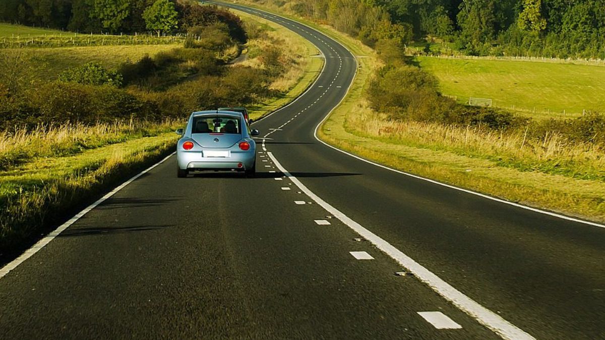
Ever wonder how states decide where to build new roads or widen old ones? It’s not just guesswork or politics. These decisions come from layers of data, analyzed and visualized through smart mapping tools. One of the biggest game-changers in modern road planning is GIS—short for Geographic Information Systems. Let’s take a closer look at how states use GIS and other mapping tools to shape the roads we all drive on.
What Is GIS?
GIS stands for Geographic Information Systems. It’s a tech platform that combines maps with data to help planners, engineers, and policymakers make smarter decisions. Think of it like Google Maps, but with dozens of layers showing everything from population density to flood zones and traffic crashes.

Instead of just seeing roads, GIS users can see who lives nearby, what land is undeveloped, and even how much traffic passes through during rush hour. This helps planners choose the best routes, reduce costs, and avoid future headaches.
Why It Matters
Planning roads isn’t as simple as drawing lines on a map. States have to consider a ton of factors—like safety, environmental impact, cost, and future growth. GIS tools let them overlay all of this data in one place. The result? Faster, smarter, and more transparent planning.
For example, say a state wants to build a new bypass around a busy town. GIS can help answer key questions:
- Will it go through wetlands?
- How many homes or businesses will be affected?
- Are there endangered species nearby?
- What’s the expected traffic volume in 10 years?

With GIS, those answers come quickly and visually—helping everyone involved make better choices.
Tools States Use
GIS is the core technology, but it works hand-in-hand with other tools and data sources. Here are a few commonly used systems:
| Tool or Platform | What It Does |
|---|---|
| ArcGIS | Industry-standard software for spatial analysis |
| LIDAR | Uses lasers to map elevation and terrain |
| AADT Data | Shows Annual Average Daily Traffic volumes |
| Crash Databases | Helps identify high-risk or unsafe roads |
| Land Use Models | Predicts future development and traffic needs |
These tools work together to paint a full picture of what’s happening on and around any road.
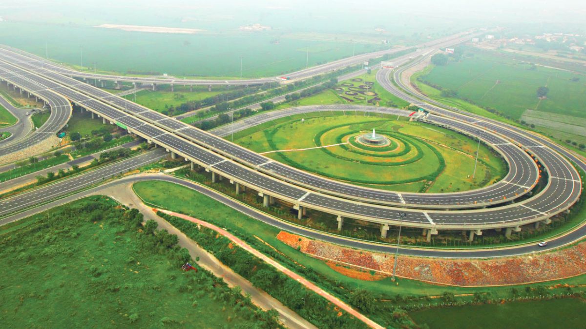
Real-World Uses

States use GIS to do more than just plan new highways. It helps with:
- Identifying roads that need repairs
- Planning detours during construction
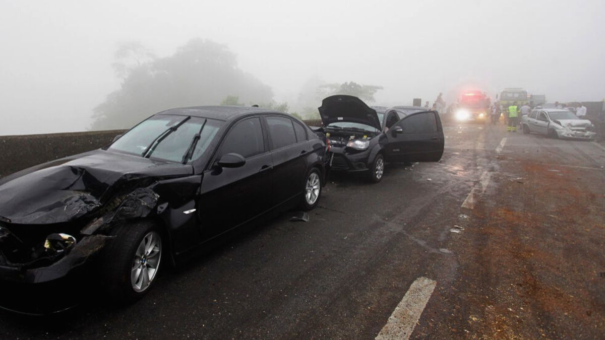
- Prioritizing safety improvements
- Planning evacuation routes during natural disasters
- Analyzing how new developments will affect traffic
During a hurricane, for instance, emergency planners can use GIS to map out evacuation routes in real-time, adjusting for flooding or traffic jams. In urban areas, it can help decide where bike lanes or bus stops make the most sense based on current usage patterns.
Public Access
The cool part? A lot of this GIS data is public. Many states have online portals where anyone—from residents to engineers—can view maps, traffic stats, and project updates. These dashboards improve transparency and give communities a say in what gets built.
If you’re curious about your own area, check your state’s DOT website—you might be surprised by what’s available.
Future
GIS is only getting smarter. With the rise of AI, machine learning, and real-time data from connected vehicles, states are moving toward predictive planning. That means using past and present data to anticipate future problems before they happen.
This kind of tech-driven approach could mean fewer traffic jams, safer roads, and more efficient use of tax dollars. So the next time you’re stuck in construction traffic, just remember—GIS was probably part of the reason that road is getting fixed in the first place.
FAQs
What is GIS in road planning?
It’s a mapping tool that combines spatial data and analysis.
Why do states use smart mapping?
To plan safer, efficient, and cost-effective road projects.
What data does GIS use?
Traffic, land use, elevation, crash history, and more.
Can the public use GIS maps?
Yes, many states offer public GIS mapping dashboards.
How is AI used with GIS?
It helps predict traffic trends and future infrastructure needs.